Brentwood
Learn about Brentwood
Brentwood is a neighborhood in the Westside of Los Angeles, California. Originally part of a Mexican land grant, the neighborhood began its modern development in the 1880s. It is the home of seven private and two public schools. The district is located at the base of the Santa Monica Mountains, bounded by the San Diego Freeway on the east, Wilshire Boulevard on the south, the Santa Monica city limits on the southwest, the border of Topanga State Park on the west and Mulholland Drive along the ridgeline of the mountains on the north. As a member of a group of nearby neighborhoods that are affluent, it is known as one of the "Three Bs", along with Beverly Hills and Bel Air.
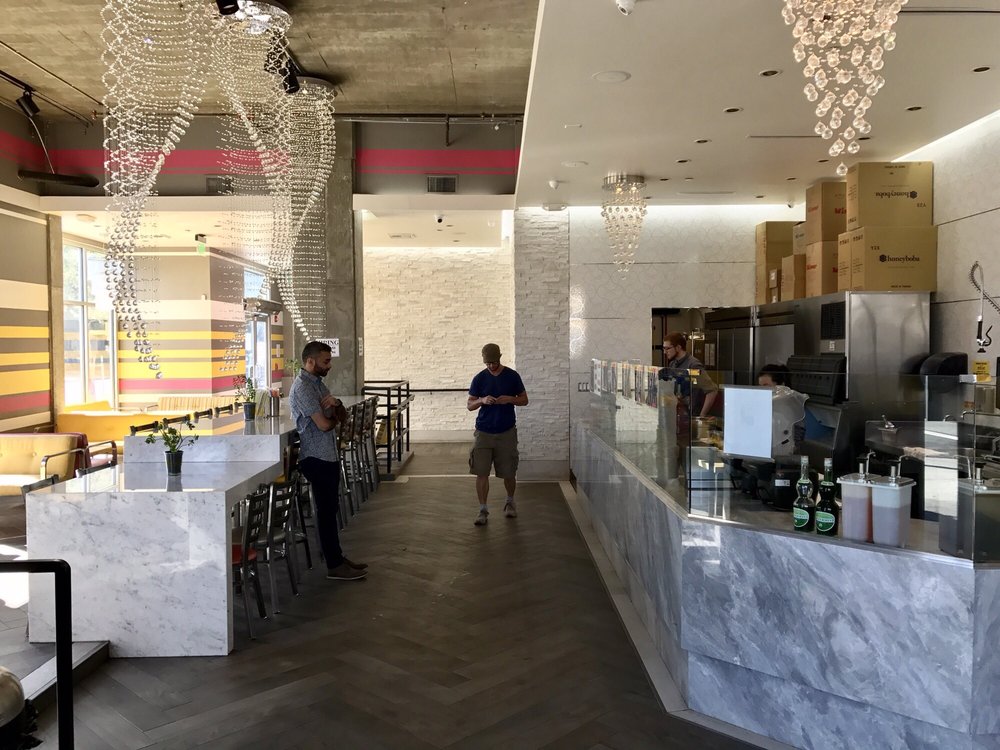
San Vicente Boulevard is divided by a wide median on which stand many large coral trees. This green belt replaced a Pacific Electric trolley track, and the trees have been named a City of Los Angeles Historic-Cultural Monument. A popular area for dining and coffee for local residents is located in Brentwood Village at the intersection of Barrington and Sunset. More than a dozen restaurants and coffee shops are located within a two-block stretch offering a wide variety of cuisine.
Travel Methods The Commute
Travel Methods
To City CenterThe Market Median Sales Price
MEDIAN SALES PRICE

Market Trends Housing Market
Percentage change from latest quarter vs same time period previous year